
Google nixes its Earth AI feature one day after launch, amid criticism it would spread misinformation
Google launched a feature on Thursday. By Friday, it was gone. The speed of that reversal — less than 24 hours — tells you everything about how badly the company misjudged the room when it decided to let an AI image generator loose inside one of the world's most trusted geospatial tools.

```html
Google nixes its Earth AI feature one day after launch, amid criticism it would spread misinformation
Google launched a feature on Thursday. By Friday, it was gone. The speed of that reversal — less than 24 hours — tells you everything about how badly the company misjudged the room when it decided to let an AI image generator loose inside one of the world's most trusted geospatial tools.
The story of Google nixes its Earth AI feature one day after launch is more than a footnote in the AI news cycle. It's a case study in what happens when a major tech company ships first and thinks about consequences second — and why that approach is becoming increasingly untenable as AI capabilities outpace the guardrails designed to contain them.
What Happened
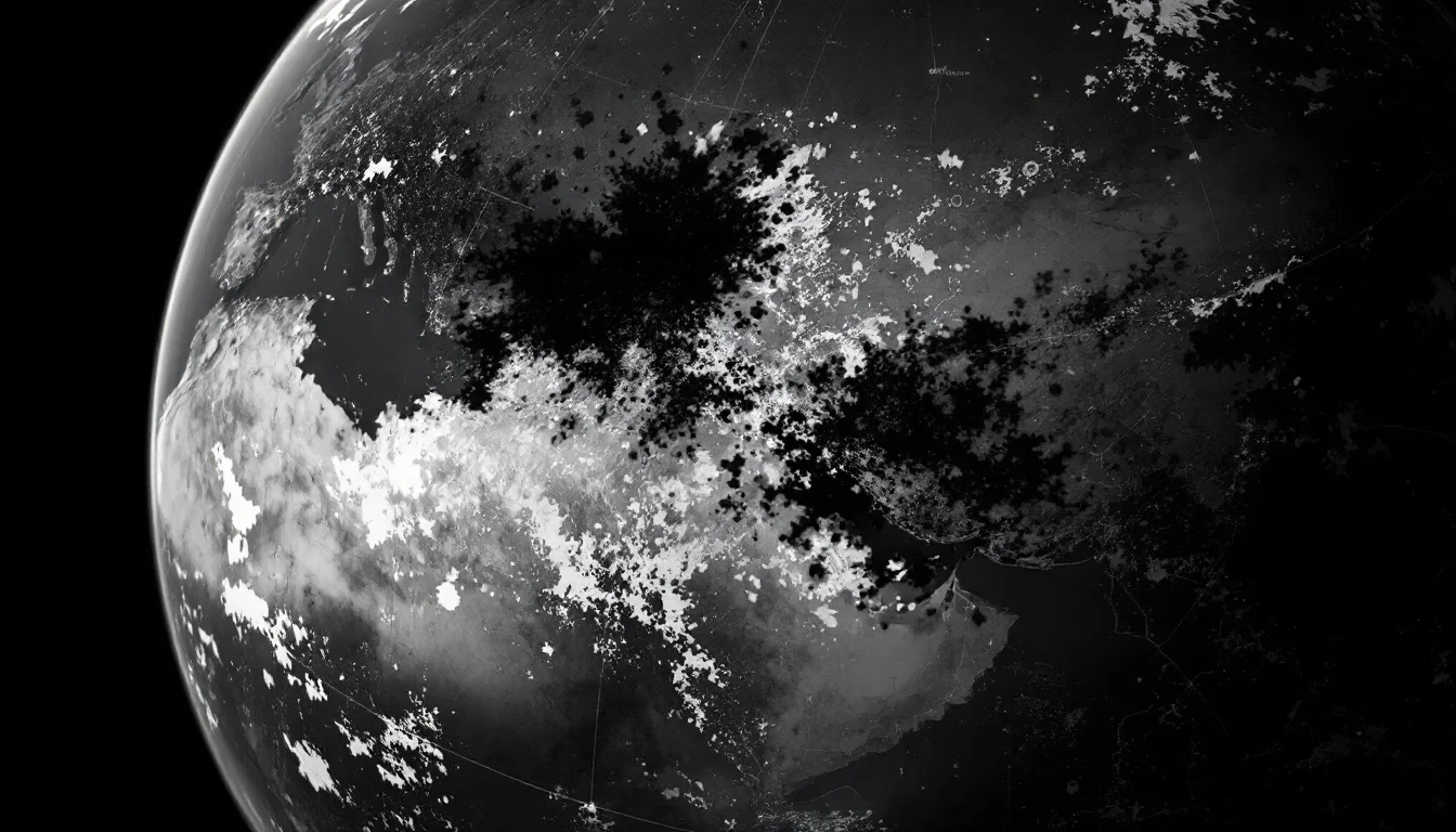
On July 31, 2026, Google rolled out a new feature for Google Earth that integrated Nano Banana 2, its AI image generator, directly into the satellite imagery mapping app. The pitch was straightforward: get creative with geography. Users could enter a prompt and generate fabricated imagery that would be superimposed over real satellite maps of actual locations on Earth.
The backlash was immediate. Critics — journalists, researchers, and geospatial professionals — pointed out the obvious problem that Google apparently hadn't fully considered: Google Earth is not a creative canvas. It's a reference tool. Journalists use it to verify the locations of conflict zones. Researchers use it to track environmental changes. Investigators use it to corroborate eyewitness accounts. Layering AI-generated fiction over that foundation of documented reality was, to put it plainly, a terrible idea.
A BBC journalist captured the mood succinctly with a sarcastic post: "There's no way that this new AI image generation feature on Google Earth, one of the most reliable sources of visual evidence for journalists and researchers, could possibly be abused to spread misinformation online."
By the next day, Google had pulled the feature entirely. In a statement posted to X, the company acknowledged: "We've seen geospatial professionals using this feature for a range of useful purposes, however we've also seen people sharing screenshots of generated imagery that appear to violate our policies. We're rolling back this feature in Google Earth while we work on implementing stronger guardrails."
That statement is notable for what it admits and what it glosses over. Google saw legitimate use cases. It also saw immediate misuse. The fact that misuse appeared fast enough to trigger a rollback within 24 hours suggests the volume — and the severity — was significant enough to force the company's hand.
Why It Matters for Asia
Asia's relationship with geospatial data is not abstract. Across Southeast Asia, South Asia, and East Asia, satellite imagery has been used to document everything from illegal deforestation in Borneo to military installations in disputed maritime zones. Journalists covering territorial disputes in the South China Sea, researchers tracking flooding patterns in Bangladesh, and NGOs monitoring forced displacement in Myanmar all rely on tools like Google Earth as a baseline for visual verification.
The ability to convincingly superimpose AI-generated imagery over real satellite maps doesn't just create a disinformation risk in the abstract — it directly undermines the evidentiary infrastructure that holds accountability journalism and human rights documentation together in some of the world's most contested regions.
Consider the practical scenario: a fabricated satellite image showing military hardware at a location where none exists, or erasing infrastructure that does. In a region where territorial claims are actively disputed and media freedom is restricted in multiple countries, that kind of synthetic geospatial content could be weaponized in ways that go well beyond a meme or a deepfake celebrity video.
The Asia tech ecosystem also has a specific stake in how global AI platforms handle trust and safety. Regulators across the region — from Singapore's IMDA to South Korea's AI Safety Institute — are actively developing frameworks for AI governance. Every high-profile misstep by a company like Google adds fuel to calls for stricter top-down regulation, which ultimately shapes the environment in which local developers and startups have to build.
For founders building in Asia, the lesson isn't just "don't do what Google did." It's that the political and social context of your deployment region matters enormously when you're deciding what AI capabilities to expose to end users. A feature that seems like a harmless creative tool in one context can become a geopolitical liability in another.
What This Means for Developers
If you're building with AI — whether you're a solo developer shipping a side project or a founder scaling a product on an AI-native development platform — Google's 24-hour reversal contains a few hard lessons worth internalizing before your next feature launch.
Trust hierarchies matter more than capability thresholds. The problem with Google's Earth AI feature wasn't that the image generation was too good or too bad. It was that the feature was deployed inside a product whose entire value proposition rests on being a trusted source of ground truth. When you attach generative AI to a tool that users rely on for factual accuracy, you're not just adding a feature — you're changing the epistemological contract with your users. That's a much bigger decision than a standard feature flag.
Speed of misuse scales with surface area. Google Earth has hundreds of millions of users globally. The moment a creative AI feature went live on that surface area, the probability of misuse didn't just increase — it became near-certain within hours. For developers, this is a reminder that safety review processes need to scale with distribution. A feature that's fine for 1,000 beta users might be catastrophic at 100 million.
Guardrails aren't a post-launch problem. Google's statement said the company is "working on implementing stronger guardrails" after the rollback. That sequencing — ship, observe misuse, then build guardrails — is the wrong order of operations for any feature that touches information integrity. The cost of retrofitting safety into a live product under public scrutiny is always higher than building it in during development.
Context-aware content policies are a technical problem, not just a policy problem. The same AI image generator that's perfectly appropriate in a creative app becomes dangerous in a geospatial reference tool. Developers need to think about not just what their AI can generate, but where and how that output will be consumed and shared. Output context — not just output content — determines risk.
For teams building AI features into products with real-world data dependencies, this incident is a useful stress test to run in planning: If someone screenshots this output and shares it without context, what's the worst-case interpretation? If the answer is "fabricated evidence of a real-world event," you need stronger controls before you ship.
Key Takeaways
Google's Earth AI rollback is one of the cleaner examples in recent memory of a company discovering — in public, in real time — that product velocity and responsible deployment are not the same thing. A few things stand out as durable lessons:
- Trusted data products carry a higher safety burden. Not all AI features carry equal risk. The more a product is used as a source of factual reference, the more carefully any generative AI layer needs to be designed, tested, and constrained before launch.
- Public misuse happens faster than internal testing can anticipate. No internal red team perfectly replicates the creativity of millions of users with varied motivations. Build for the adversarial case, not just the intended use case.
- Rollbacks are recoverable. Reputational damage to a reference tool is not. Google pulled the feature quickly, which limits the direct harm. But the damage to Google Earth's status as a reliable source of visual truth is harder to quantify and slower to repair.
- Asia's information environment amplifies these risks. In regions with active territorial disputes, restricted press freedom, and high political volatility, synthetic geospatial content isn't a theoretical risk — it's an operational one. Developers building for Asian markets need to factor in that context explicitly.
- The AI industry's credibility problem is cumulative. Each incident like this contributes to a broader erosion of public trust in AI systems, which ultimately makes it harder for everyone — including the developers building genuinely useful tools — to earn user confidence.
TechCrunch noted in its coverage that in the age of AI, most imagery on the web can already be manipulated without specialized skills. That's true. But there's a meaningful difference between a general-purpose AI image generator and one embedded inside a tool that carries an implicit promise of factual accuracy. Google blurred that line, and the speed of the backlash showed that users understood the distinction even when the product team apparently didn't.
The real question coming out of this isn't whether Google will get the guardrails right on the next attempt. It's whether the industry — large platforms and independent developers alike — will start treating information integrity as a first-class design constraint rather than a compliance checkbox to revisit after launch.
```